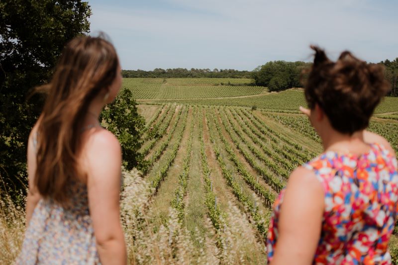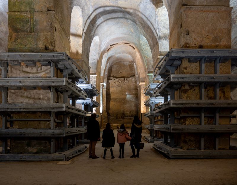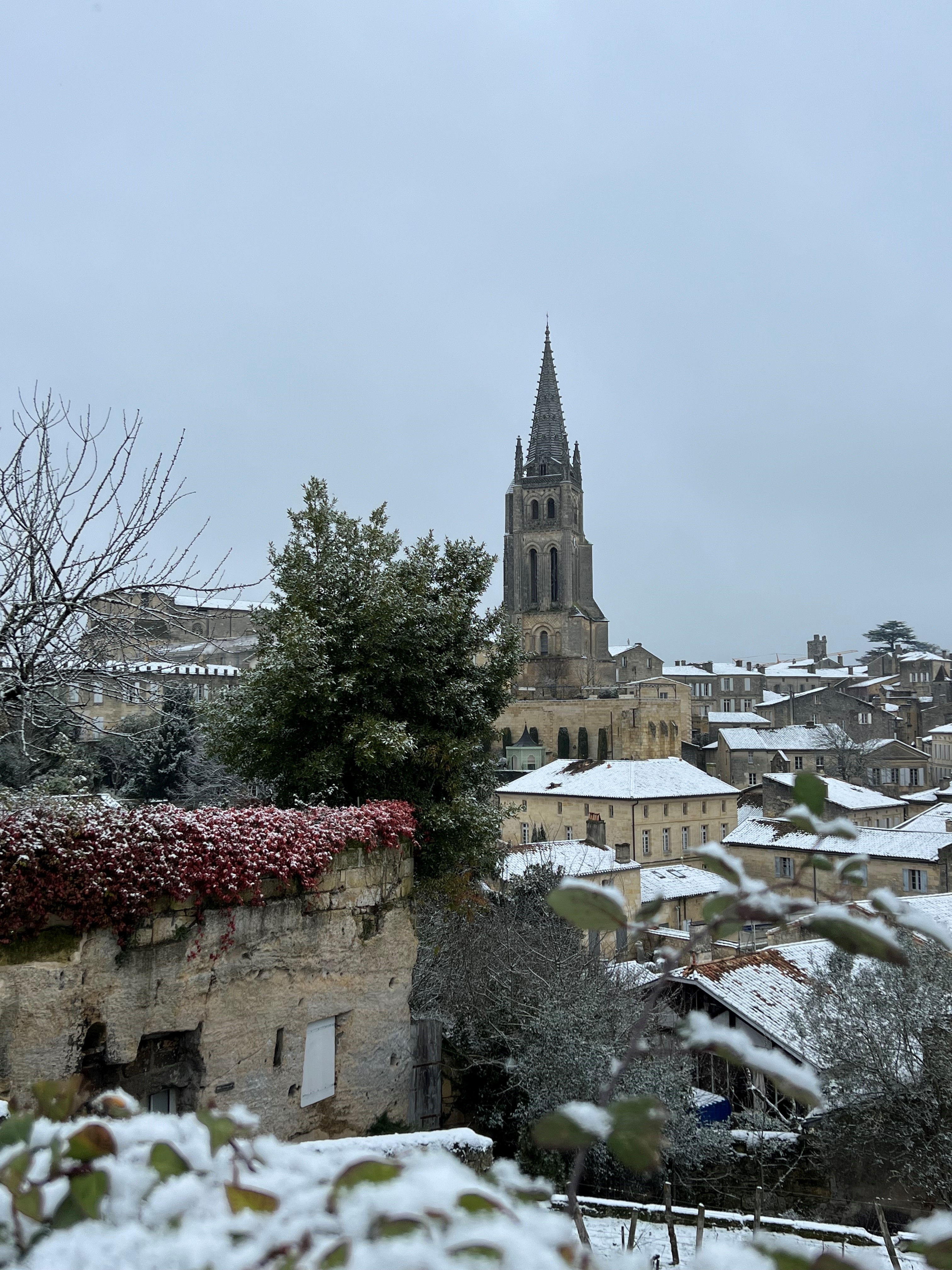
Discover Saint-Sulpice-de-Faleyrens, between the vineyards and the Dordogne.
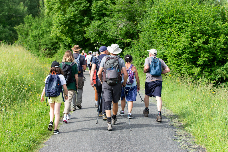
The stages
From the church, with your back to the main entrance and gate, turn right along the cemetery and right again into Rue de la Cité. Continue straight on for 1.5 km, passing Ch. Caze Belleneuve and the ‘rive Dordogne’ sign, until you reach the next junction.
At the junction, follow the ‘belle rive’ sign to the right and drive alongside the small lake on your left (a haven for herons and other migratory birds). Then follow the signs for Ch. Vieux Belle Rive to rejoin the Dordogne.
At Ch. Belle Rive, at the Dordogne, turn right and follow the river for around 2 km until you reach the tarmac road with picnic table and information panels.
Enter the hamlet along the road on the right and turn left at the crossroads.
When you reach the main road, turn left along the vineyards to discover the Pierrefitte menhir.
Then retrace your steps to the two columns marking the entrance to Ch. St Martial Pierrefitte.
Cross the main road and continue straight ahead on the fork in the road, continuing the loop. Walk straight on for about 1 km, passing the black sign ‘Les Grandes Versannes’ and Ch. Vieux Garrouilh (on the right), until you reach the last junction before the D670.
Turn right towards Ch. La Chapelle Despagnet (red sign on the right), pass the first three houses, then take the path on the left at Ch. Milandre (name written on the façade).
Walk straight ahead along this path, passing the black ‘Despagnet’ sign and crossing the block of houses at Ch. Haut Gravet and following the path that leads to Rue de La Poste
Cross the road to take the small dirt track opposite (slightly to the left) and walk to the next intersection with the road at Ch. Mondorion.
At the junction, turn right and quickly left into the hamlet at the ‘Grand Chemin’ and ‘Ch. Faleyrens’ signs. Walk until you reach the Avenue de Saint-Emilion (next intersection at the end of the road).
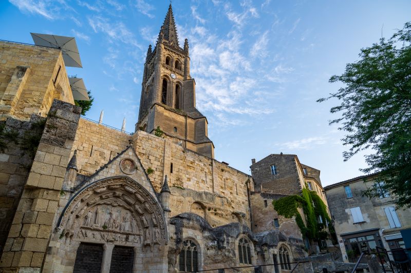
On the Avenue de Saint-Emilion, turn right and just after the sign indicating the entrance to the village of Saint Sulpice de Faleyrens, fork right at the crow's-foot at Ch. Croix de Bertinat. Walk straight on until you reach the church.
Grand Saint-Emilionnais Tourist Office
Le Doyenné - Place des Créneaux
33330 SAINT-EMILION
![]()
![]()