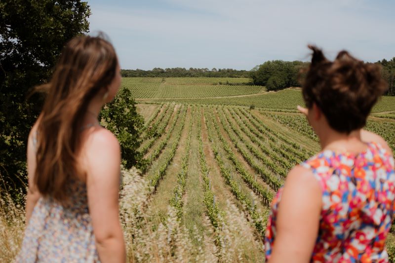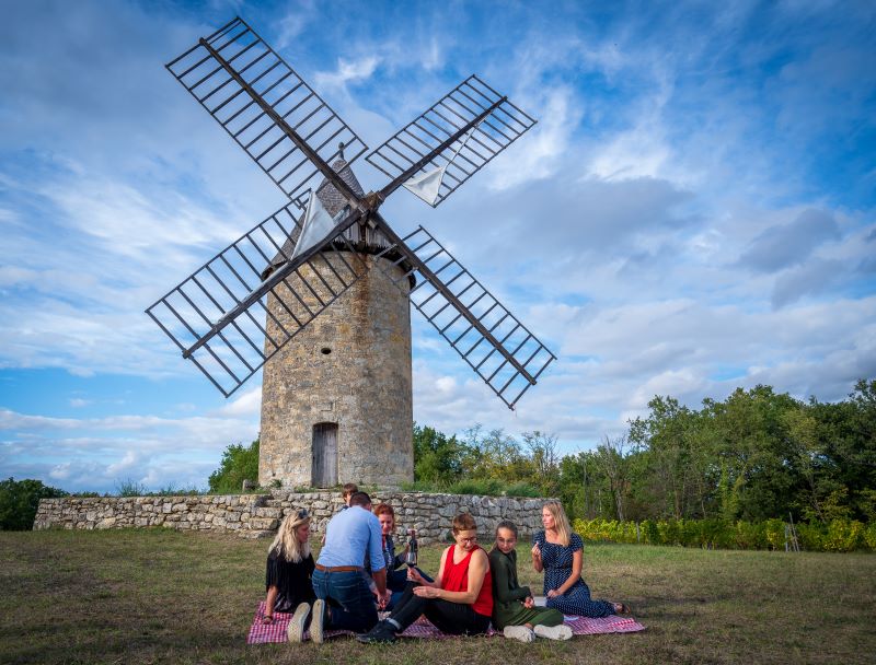
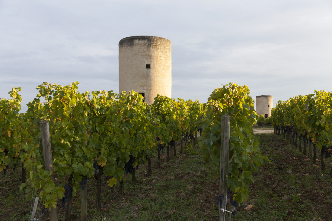
This walk, starting in Montagne, offers a magnificent view from the Butte de Calon, where you can watch the windmills and the winegrowing landscape.
The stages
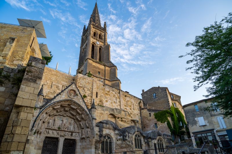
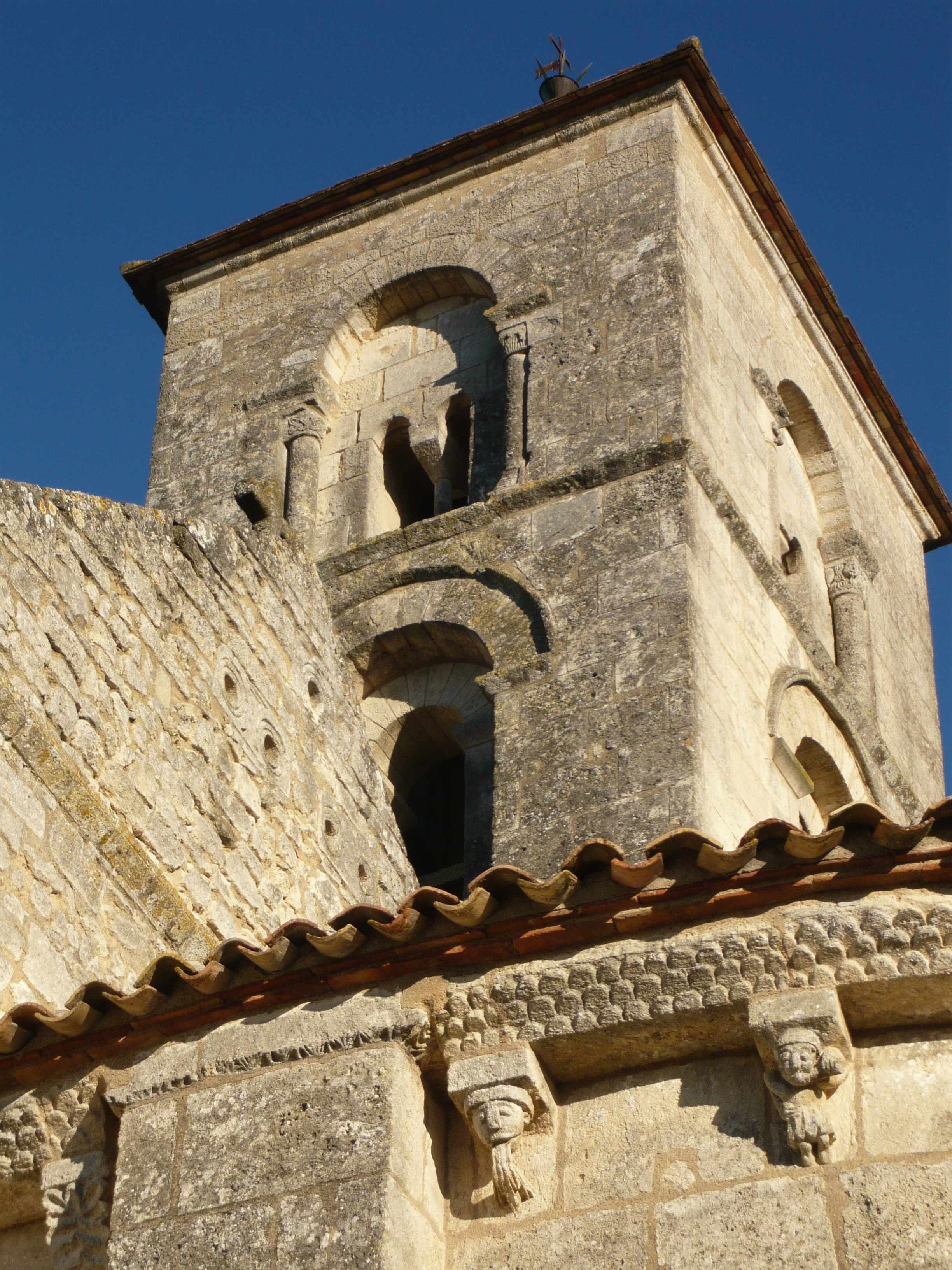
With the Saint-Martin church behind you, turn left on the main road (D244) and keep walking to the “give-way”.
At the "give-way" sign, take the “Labatut” street on the right.
Go straight to the next crossroads with “Cazelon street”.
At the crossroads, turn right (sign indicating "Château la Bergère")
Turn right at the next junction. Stay on this way, walking past Ch. la Bergère. Walk along the low walls of Ch. Saint-Georges (on the left). After the bend, pass next to the wash house and the picnic area to reach the Saint-Georges church.
Facing the Saint-Georges church, go to the right. Past the play area and public toilets, go straight back to Montagne village. At the stop, go up to the street to reach the Saint-Martin church. Facing the church go to the left in the “Tilleul street”. Walk carefully to the next crossroads with the “Paradis”street.
At the crossroads, turn right going up in the “Paradis” street. Turn left then at the entrance of the“Arriail” locality following the ch.Calon direction. keep climbing to reach the next road (D122).
On the main road, turn left and continue until you reach the next junction with a road going down on the right (“moulins” signs).
At this junction, go down the street on the right to reach a few metres lower the crossing point with a hiking path (green-yellow signpost).
At the crossing path, turn left to take the hiking path up to the road.
At the end of the path, turn left walking a few metres up and turn right following a path that lead you to the Calon windmills.
Go in the middle of the windmills site and reach the opposite road. On the road, turn right and stop at the bend just after the tower.
At the bend, take the hikking path to the right following the sign indicating "boucle des moulins". Continue down until you reach a tarred road (green signs) to the left.
At the crossroads with the main road, turn right.
At the stop, turn right again. keep walking up to reach the hiking path on the left (after the first house) that you came from earlier.
urn left on this path to go back to the crossroad (point n°10).
At junction with the road, cross the road and carry straight ahead on the signpost path.
Keep walking straight ahead through the trees and the vines.
Keep walking straight ahead through the trees and the vines.
On the same path, keep walking straight ahead into the village called Mirande (but no sign) and go to the crossroad up the hill.
At the crossroads, turn right until the next junction with the D122 road. At the stop, cross the road to continue on the “la vallée” street on the other side.
on the next green/yellow signpost at the junction between “impasse Gardat” and the “Vallée”street, stay on the left following the “impasse Gardat”.
Continue on this little road which takes a left turn.
At the hiking sign, continue straight towards the Bois de Bonde.
You can also take the small path on the right to return to Montagne, and take a short cut back to the departure point.
Continue straight on the same road which turns into a path. Follow this path and enter the Bois de Bonde.
continue on this path along the vineyards and into the woods until the next junction with the “Picampeau”road.
At the intersection, turn right onto the main road and walk until the stop sign.
At the stop sign, cross the D244 road to continue on the other side onto the “Tuilerie” road.
Keep walking, crossing the Ch. Bayard and walk to “Arvouet”small village.
At the Stop, next to the picnic tables, turn right and follow the direction of Montagne.
Go up the road until the next junction with a path on the left.
This path takes you past Ch. des Tours and takes you back to point no. 3 on the Labatut road.
Go to the right to return to the D244 and at the stop sign, turn left to return to the Montagne church.
Grand Saint-Emilionnais Tourist Office
Le Doyenné - Place des Créneaux
33330 SAINT-EMILION
![]()
![]()