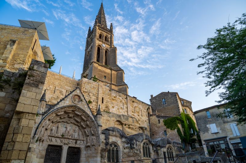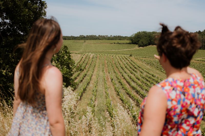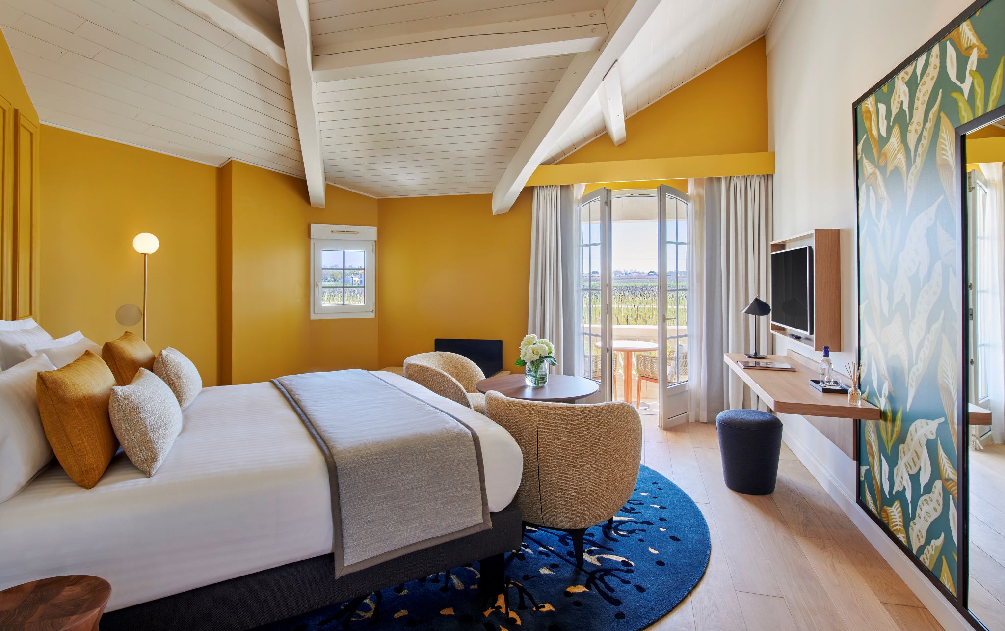
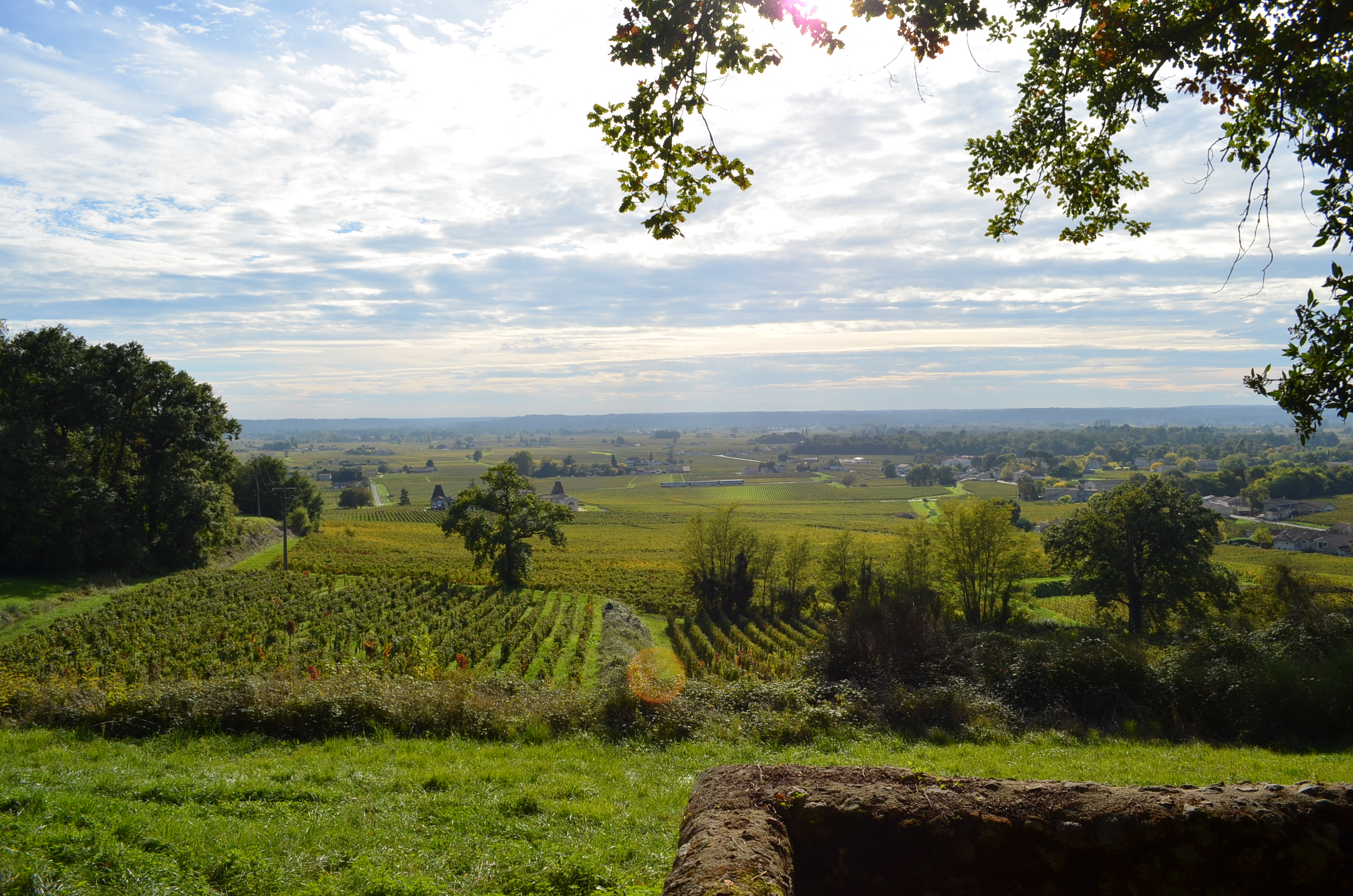
Discover the many facets of the Saint-Émilion vineyards and our colourful landscapes between hillsides and valleys, listed as a World Heritage Site by UNESCO as a cultural landscape.
The stages
From the Tourist Office, take the Rue du Clocher on your left.
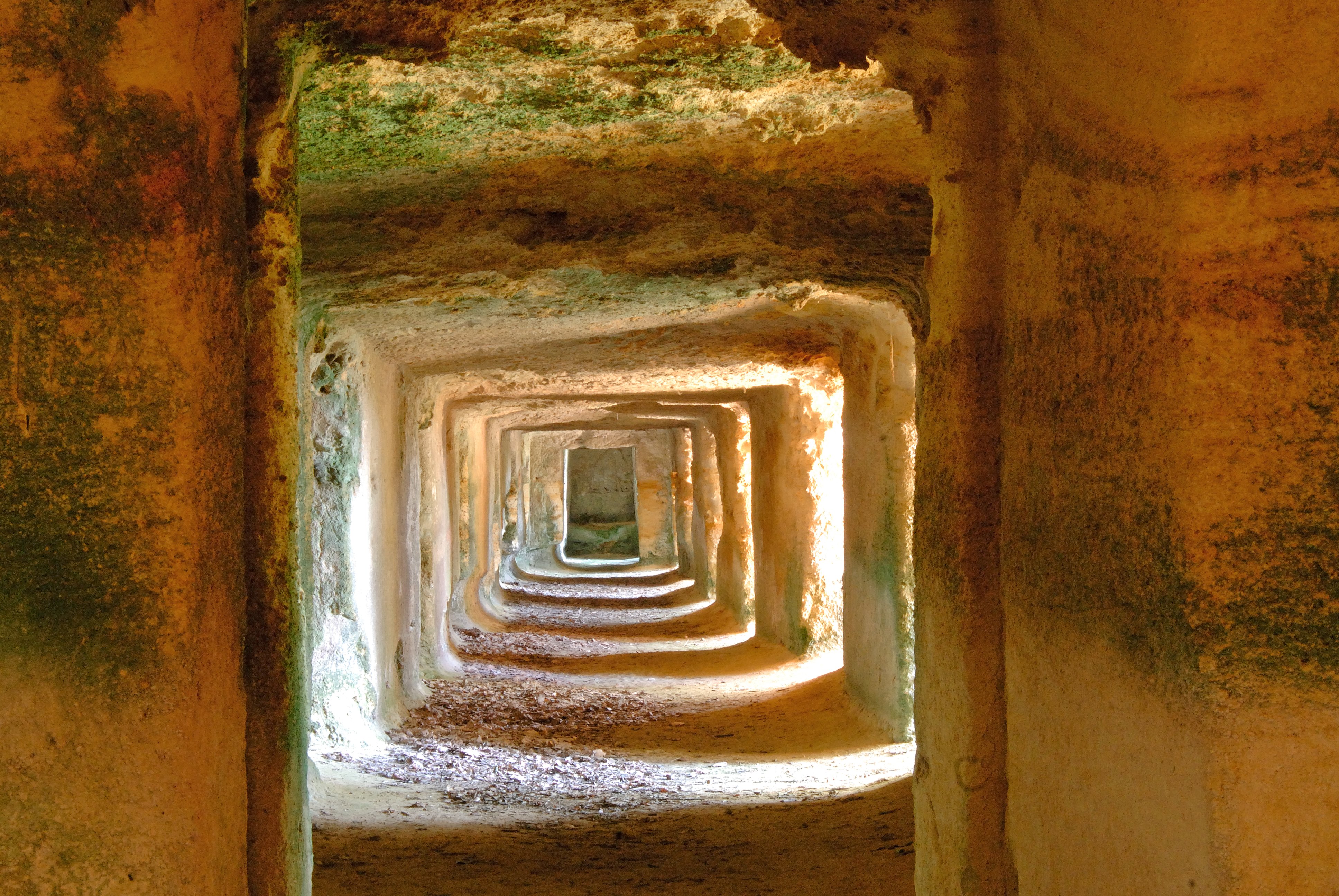
Opposite the pharmacy, turn right up the hill into rue de la porte Brunet. Walk past the Cloître des Cordeliers and continue straight on until you reach the Porte Brunet, where you will have a magnificent view of the Dordogne valley. Turn right into the cul-de-sac at Ch. La Clotte and walk down to the bottom of the grassy path (‘chemin de Fongaban’).
At the bottom of the track, turn left around Ch. Petit Gravet. The dirt track continues onto a tarmac road, which you take as far as chemin de Pavie Macquin. At the sign, follow the path on the right, which winds up the hill.
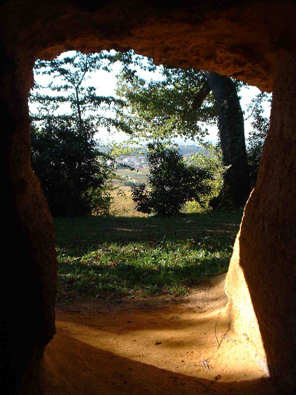
At the entrance to the château, turn right (yellow-green signpost). You'll have a magnificent view of the medieval town. Walk alongside the trees and follow the signs to the large oak tree (furthest to your left). Continue left towards the 2nd oak. Finally, reach the 3rd oak visible on the hillside, wandering between the vineyards.
Drive along the mound on your left. At the dirt track, turn right onto a tarmac road.
At the road, turn left. Follow the chartreuse on your right and continue to the end (follow the yellow signs).
At the next crossroads, after the stable, turn right. Follow the sign ‘liaison boucle des combes’.
Continue along the tarmac road past Ch. Rochebelle.
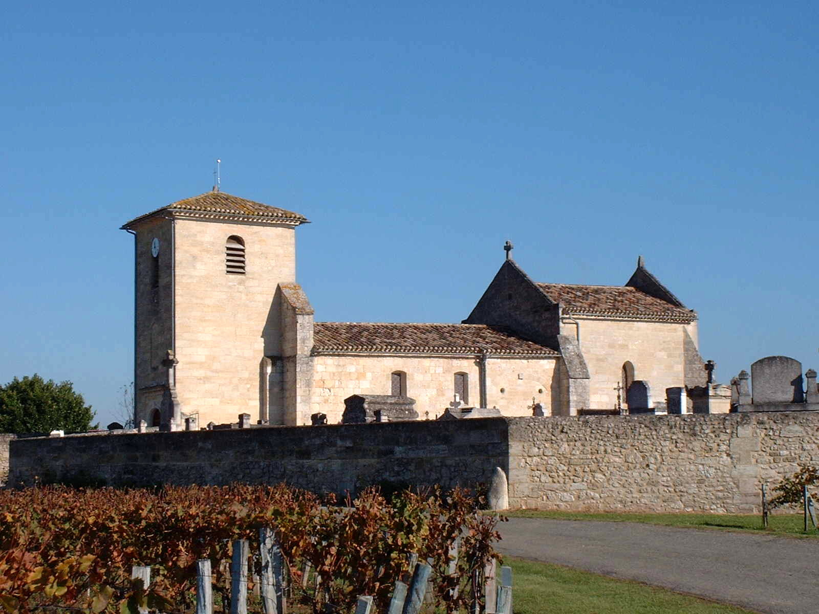
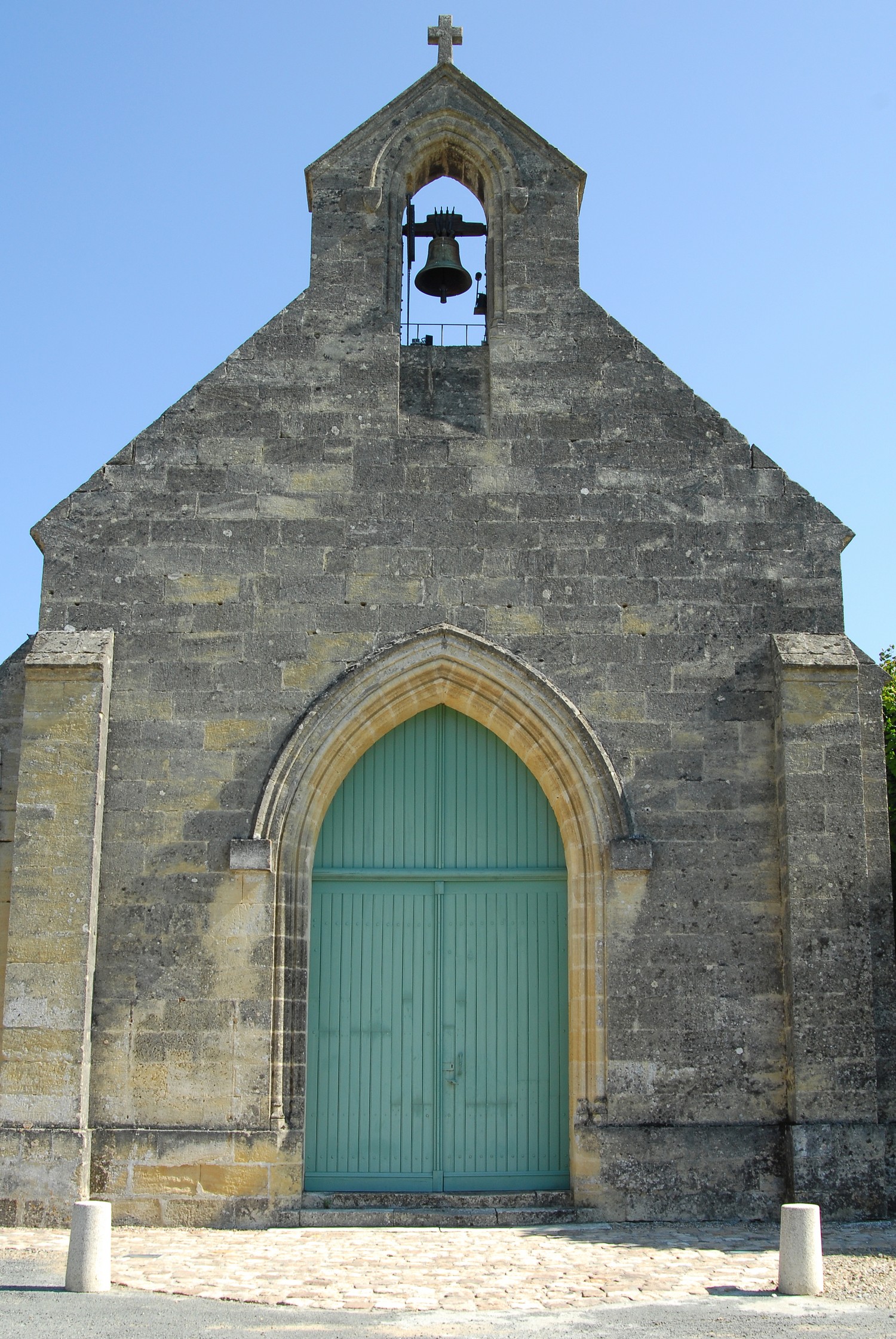
At the crossroads, take the dead-end road on your right to reach the church of St-Laurent-des-Combes. From the church square, enjoy the view of the terraced hillside and the plain below. Walk around the church to the right. Opposite the entrance to the cemetery, take the few stone steps that lead to a steep path through the woods. You will come down to a hillside (green markers).
Contournez le talus en pierre par le bas et longez les vignes.
Go around the plot, then turn left to join the tarmac road.
At the tarmac road, turn right. Follow the Ch. de Candale to the stop sign.
At the stop sign, take the path on your left (yellow-green marker).
You will come to a courtyard. At the tarmac road, turn left for 500 m, until you come out of the village.
After the ‘Saint-Laurent-des-Combes exit’ sign, turn right (signposted path). Follow the signs for ‘Circuit Juridiction de Saint- Émilion par St Hippolyte’.
Continue straight ahead on the dirt track. At the bend in the road, turn left at the signs, then right just before the bushes to reach the grove.
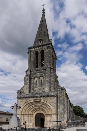
Reach the top of the hill. On your right is the church of St-Hippolyte.
Take the road on the left, which will take you past the Ch. de Ferrand and on to the next crossroads.
At the give way sign, turn right towards St-Christophe-des-Bardes.
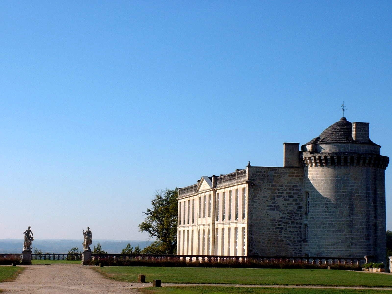
After 500 m, turn left (follow the signs for the Boucle de St-Christophe-des-Bardes-Circuit Juridiction de Saint-Émilion) and follow the wall of Ch. Laroque on your left.
In front of the château gate, take the pine-lined path on the right (you can shorten the route here by continuing straight on to point 26: direction Barde-Haut).
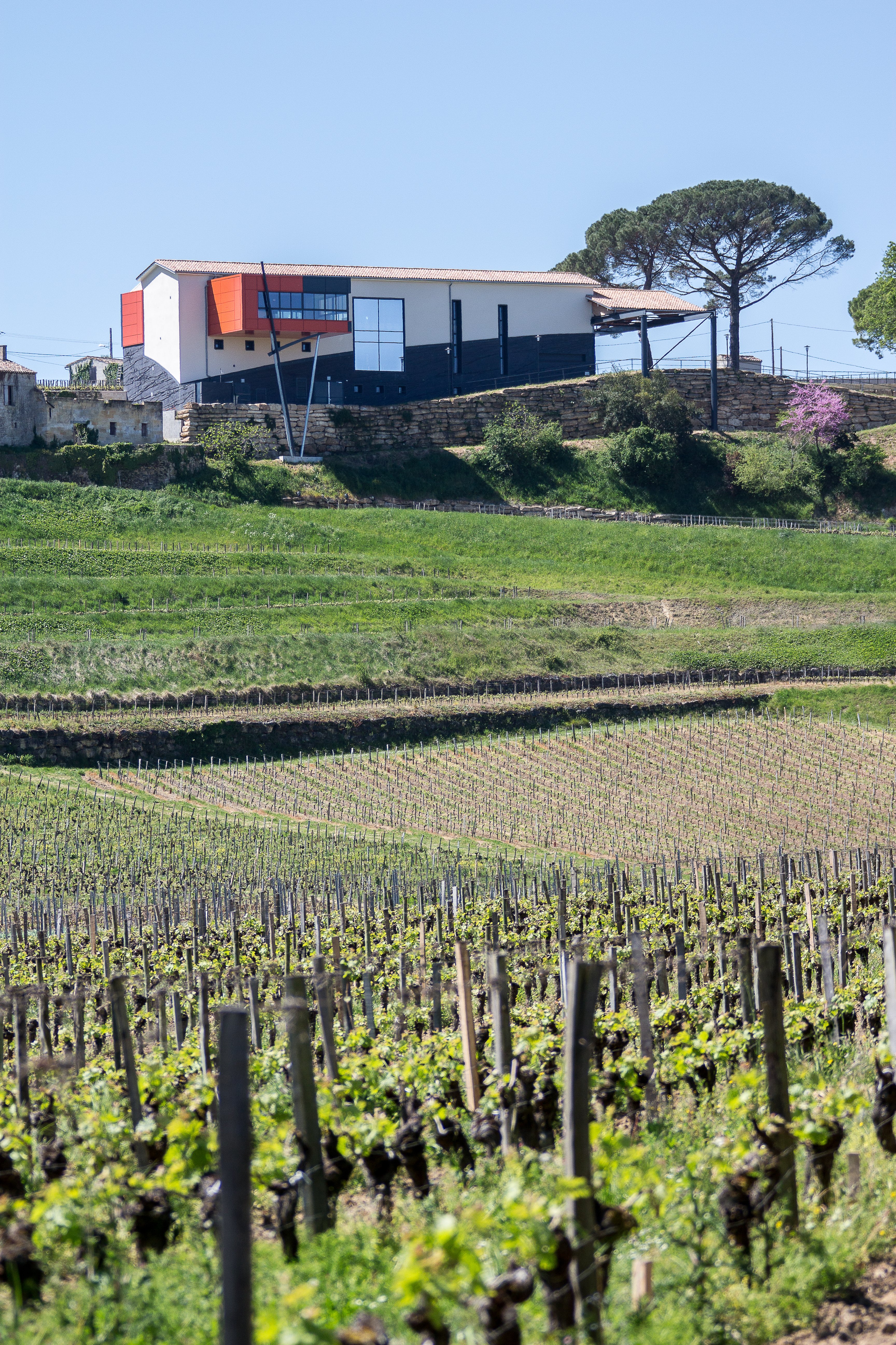
At the end of the driveway, cross the D243 and take the road almost opposite, towards Ch. Fombrauge.
At the end of the street, turn left. You will arrive at Ch. Tonneret.
Go straight ahead along the main road through the village. Walk to the roundabout.
The ‘écoles communales’ building stands in front of you. At the roundabout, take the road on the far left, signposted ‘Laroque-Lapelleterie’, and walk past the town hall.
At the ‘Laroque-Lapelleterie’ sector, turn right towards Ch. Barde-Haut.
Go past Ch. Barde-Haut and continue along the road (yellow markers).
At the crossroads after Ch. Barde-Haut, continue straight ahead. At the next crossroads, turn left into the one-way street towards ‘Saint-Émilion Sud/Centre-Ville’. Ch. le Prieuré is on the left. At the fork in the road, follow the road up to Porte Brunet.
Enter the village. Walk down rue de la porte Brunet to rue Guadet, past the Cordeliers cloister and its magnificent viewpoint. At the pharmacy, turn left into rue des Girondins. Continue straight on until you reach the tourist office, your final destination.
Grand Saint-Emilionnais Tourist Office
Le Doyenné - Place des Créneaux
33330 SAINT-EMILION
![]()
![]()