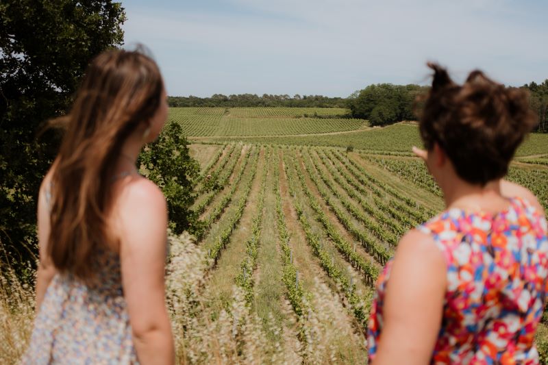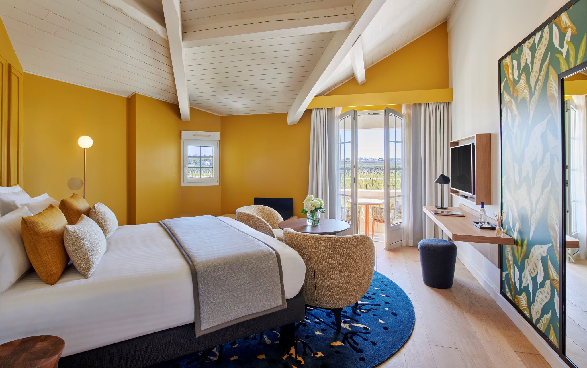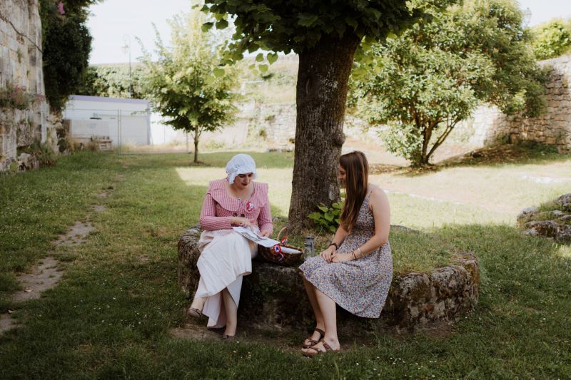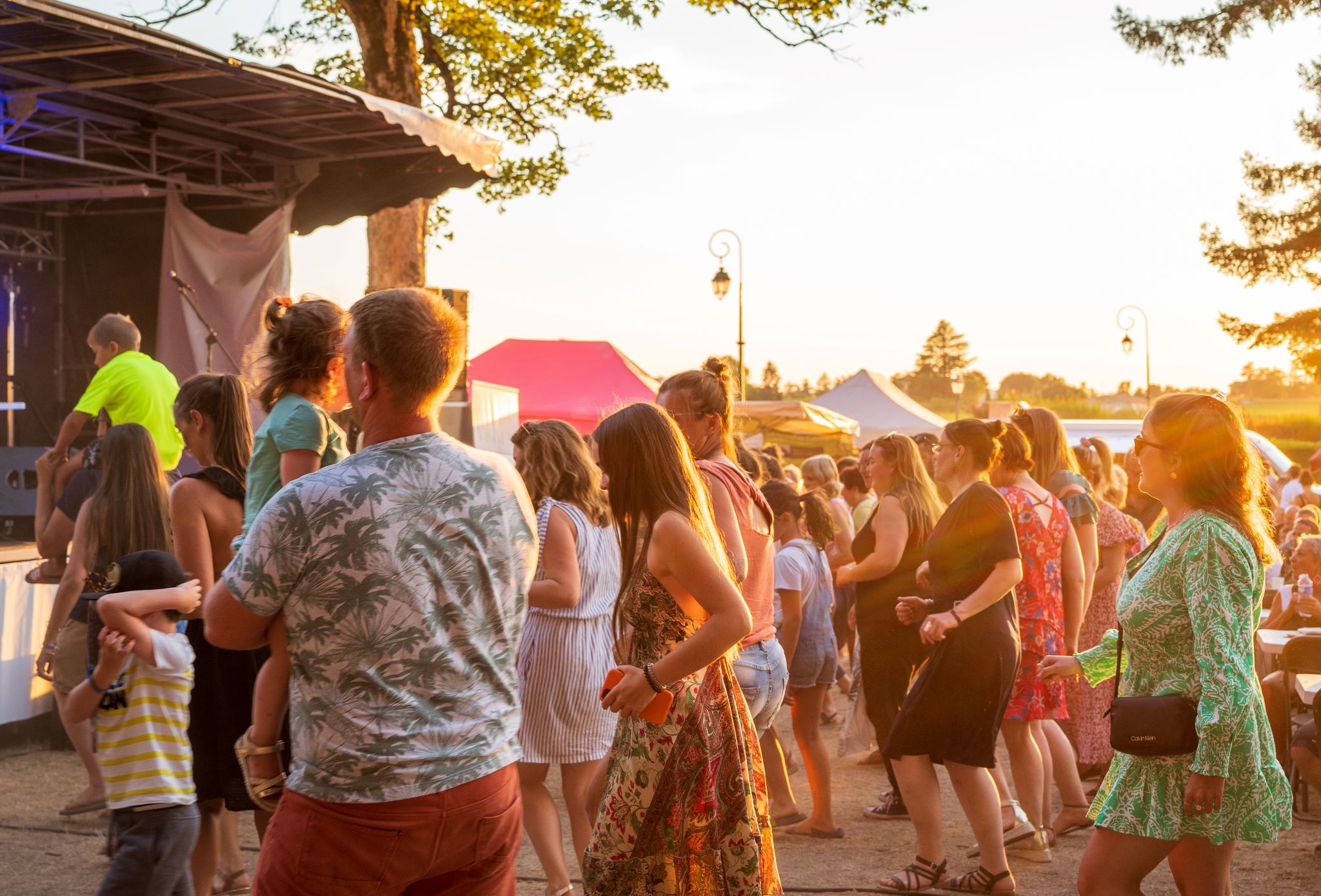


This bucolic walk is perfect for nature lovers ... and wine lovers! It offers beautiful views over the vineyards and the Dordogne. It's also an opportunity to learn more about the history and heritage of this region.
The stages
Leave the church and cycle along the road to the left, along the moats until you reach the gates of Ch. Canon.
At the entrance of Ch. Canon follow the stone wall until the end of the road, that winds through the vineyards. Turn right in front of Ch. Bélair-Monange and carry on until the stop sign.
At the entrance of Ch. Canon follow the stone wall until the end of the road, that winds through the vineyards. Turn right in front of Ch. Bélair-Monange and carry on until the stop sign.
Once you have reached the stop sign, turn left and head down towards Libourne. At the bottom of the hill, turn right. Continue straight on to visit l'Union des Producteurs of Saint-Emilion. If not, take an immediate left.
Once you have reached the stop sign, turn left and head down towards Libourne. At the bottom of the hill, turn right. Continue straight on to visit l'Union des Producteurs of Saint-Emilion. If not, take an immediate left.
Cross the railway track and carry on until the stop sign.
Cross the D670, then take the D19E1 and cycle through "Bigaroux", a small hamlet. towards St-Sulpice-de-Faleyrens.
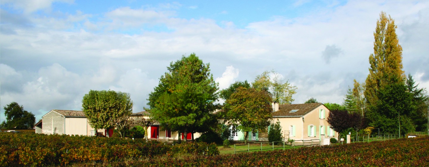
Cycle past Ch. Monbousquet and continue on until you reach Ch. Croix de Bertinat in St-Sulpice.
Once you've reached the monument at the entrance of the village, take a slight left onto "rue de Bertinat".
At the stop sign, cross over the road and go straight onto “rue de la Dordogne” towards Ch. Grand Baillarge and Ch. Bellerive.
At the stop sign, cross over the road and go straight onto “rue de la Dordogne” towards Ch. Grand Baillarge and Ch. Bellerive.
Carry on cycling until the crossroads, where you will see signs to "La Moulinate" and to "Vignobles B.Anx". Turn left.
Carry on cycling until the crossroads, where you will see signs to "La Moulinate" and to "Vignobles B.Anx". Turn left.
At the crossroads, turn right towards Grand Barrail and Vignobles B.Xans.
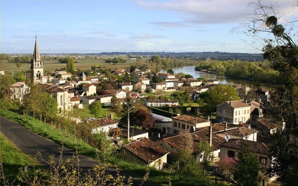
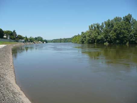
Reach the Dordogne river and turn left. Cycle along the river until you reach the village of Branne.
Cycle under the bridge and carry on until the give way sign. Turn left onto the D936, cross over the bridge and immediately turn left onto the D18, towards the "Tourist Office" and Cabara.
Cycle under the bridge and carry on until the give way sign. Turn left onto the D936, cross over the bridge and immediately turn left onto the D18, towards the "Tourist Office" and Cabara.
Cycle under the bridge and carry on until the give way sign. Turn left onto the D936, cross over the bridge and immediately turn left onto the D18, towards the "Tourist Office" and Cabara.
Carry straight on until the D18E5 junction. Turn left towards "Cabara".
Carry straight on until the D18E5 junction. Turn left towards "Cabara".
Cycle along the riverside through the village (picnic area) and carry on until the stop sign.
Turn left onto the D18 and cycle roughly 1km until you reach Saint-Jean-de-Blaignac.
Turn left onto the D18 and cycle roughly 1km until you reach Saint-Jean-de-Blaignac.
At the entrance of the village, turn left at the stop sign towards "Lavagnac". Cross over the bridge.
At the entrance of the village, turn left at the stop sign towards "Lavagnac". Cross over the bridge.
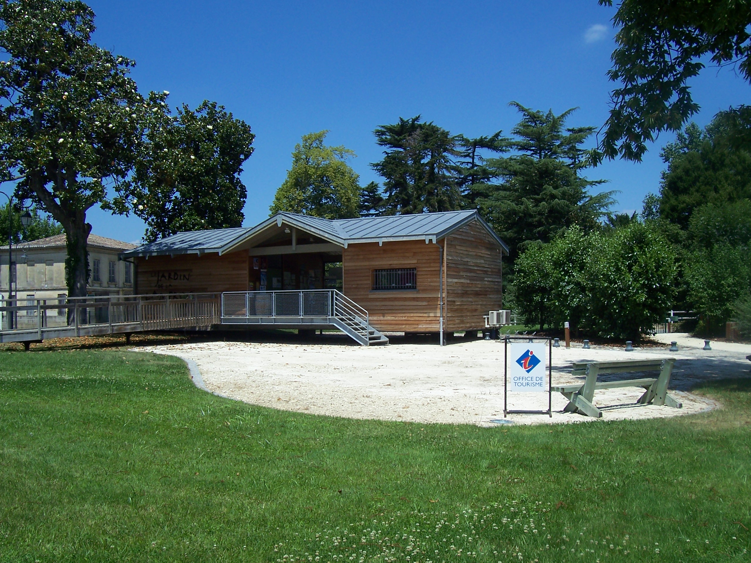
Cycle through Lavagnac and turn right after Le Jardin de la Lamproie towards the village of St. Terre. Follow the river until you reach St.Terre.
Cycle through Lavagnac and turn right after Le Jardin de la Lamproie towards the village of St. Terre. Follow the river until you reach St.Terre.
At the first crossroads at the entrance of the village, turn right and stay on the main road. Cycle past the church, then turn left and follow the road signs to Saint-Pey-d'Armens.
Continue straight on and leave the village. After leaving St.Terre, turn left towards Ch. Guillemin. Stay on the right at the town next Y-junctions and continue straight ahead until the D936.
Continue straight on and leave the village. After leaving St.Terre, turn left towards Ch. Guillemin. Stay on the right at the town next Y-junctions and continue straight ahead until the D936.
Stage not located on the map
Continue straight on and leave the village. After leaving St.Terre, turn left towards Ch. Guillemin. Stay on the right at the town next Y-junctions and continue straight ahead until the D936.
Stage not located on the map
Cross over the D936 towards Ch. Reynaud.
Stage not located on the map
Cycle until the end of the road until you reach the D243E2. Turn left and then immediately turn right.
Stage not located on the map
Cycle until the end of the road until you reach the D243E2. Turn left and then immediately turn right.
Stage not located on the map
Continue straight on until the next crossroads, then turn right.
Stage not located on the map
Continue straight on until the next crossroads, then turn right.
Stage not located on the map
Past infront of the Ch. Beaurang (to your left) and Ch. Clos des Princes (to your right) before taking the D670. Cross over the road towards St-Laurent-des-Combes.
Stage not located on the map
Past infront of the Ch. Beaurang (to your left) and Ch. Clos des Princes (to your right) before taking the D670. Cross over the road towards St-Laurent-des-Combes.
Stage not located on the map
Turn left at the Y-junction and carry straight on until Ch. Peyrelongue. At the château, turn left until you reach the next crossroads.
Stage not located on the map
Turn left at the Y-junction and carry straight on until Ch. Peyrelongue. At the château, turn left until you reach the next crossroads.
Stage not located on the map
At the crossroads, leave the Ch.Chante-Alouette and Ch. Puy-Razac to your left and continue straight on.
Stage not located on the map
At the next junction turn right.
Stage not located on the map
At the Y-junction, stay to the left and cross over the railway track. At the level crossing, enjoy a lovely view of Saint-Emilion and of Ch. Pavie. Carry straight on until the stop sign.
Stage not located on the map
At the Y-junction, stay to the left and cross over the railway track. At the level crossing, enjoy a lovely view of Saint-Emilion and of Ch. Pavie. Carry straight on until the stop sign.
Stage not located on the map
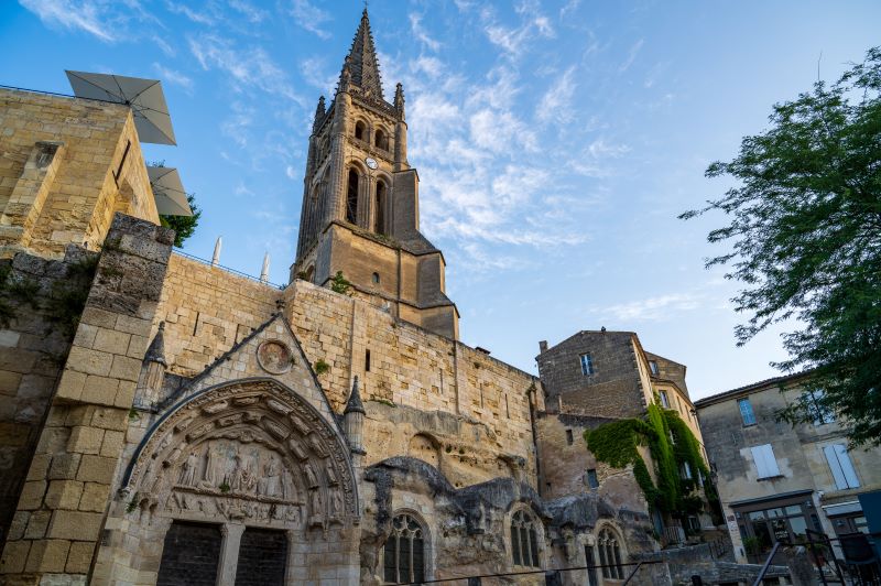
At the bottom of the village, follow the main street “rue Guadet”. Turn left onto "rue du clocher", towards the Tourist Office.
Stage not located on the map
At the bottom of the village, follow the main street “rue Guadet”. Turn left onto "rue du clocher", towards the Tourist Office.
Grand Saint-Emilionnais Tourist Office
Le Doyenné - Place des Créneaux
33330 SAINT-EMILION
![]()
![]()

The quest for truth begins here.
Three Moustachus explorers, a legendary destination, and one question: Why is Saint-Émilion so fascinating?
In this offbeat documentary series, set off to discover a unique village, its hidden secrets... and the men and women who make it so rich. History, heritage, unusual anecdotes: let yourself be surprised.